A First Walk Between Two Neighbouring Villages
A first walk between neighbouring villages reveals how footpaths, shared landmarks and settlement edges connect communities, one close observation at a time.
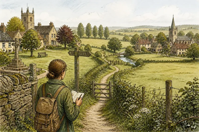
The common mistake on a first walk between neighbouring villages is to treat the gap as empty ground between two destinations. That misses the footpath, field gate or shared landmark that can show how people move between them. Set out to notice those connections, and the walk becomes more than a way of getting from one place to another.
What should I notice before leaving the first village?
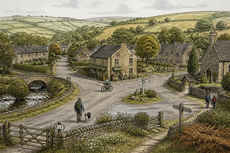
Start at a place that belongs to ordinary village life, such as a green, churchyard entrance, village hall or shop frontage. Look at what points towards the neighbouring settlement. A lane may bend that way; a footpath sign may stand beside the last houses; a worn track may leave the road near a playing field.
Notice the village edge rather than deciding where the village “ends”. Houses might thin out gradually, or stop at a row of gardens before giving way to pasture. A stream, hedge or change in building style can mark a boundary people recognise, even if there is no formal sign.
Carry a small notebook or use a notes app to jot down a few details. You do not need a route plan for this observation. If you do need directions, keep that as a separate task: the point here is to pay attention to the relationship between places, not to assess how to travel safely.
How can I read the path between the villages?
Watch how the path meets the land. Does it follow a field boundary, cross open ground, run beside a stream or join a lane? Those changes can suggest how the link fits into the surrounding landscape. A narrow path along a hedge feels different from a track that opens onto a broad field, even if both lead towards the same place.
Look for transitions. A footpath may become a farm track, meet a quiet road, then continue through a gate. Note where its surface changes from gravel to grass or where a stile gives way to a gap in a hedge. These are not just details underfoot: they show how a connection passes through different kinds of land.
Do not assume every visible track is a public path. If access is unclear, check an official rights-of-way map or local signage before using it. Keep your observations to places you are entitled to walk.
Which landmarks connect both places?
A shared landmark is something that helps people orient themselves across the gap, not necessarily a monument. It might be a church tower visible from both villages, a ridge, a bridge, a watercourse or a line of mature trees. Pause at a point where the view opens and see what remains visible behind you and what appears ahead.
Notice whether the same feature is understood from both ends. A stream might run through one village and then mark the edge of fields; a hill may sit behind one settlement and across the approach to the other. These features give the walk a sense of continuity without making the places identical.
Say you leave a village green and spot a line of trees beyond the last gardens. You follow the public path beside a hedge and later see the same trees from near the next village’s churchyard. In an imagined walk like this, noting that repeated view would make the connection visible: the trees help orient the space between the two settlements.
How do I notice where one settlement gives way to another?
Look for signs of gradual change. Scattered houses may appear before the main cluster of the second village; gardens may give way to paddocks, then return beside a lane. You might see a farmstead standing apart from both settlements, or a row of newer homes that makes the boundary less obvious.
Compare the approach with the departure. Does the second village announce itself through a church tower or a sign, or does it emerge through denser houses and familiar village spaces? The contrast can show that the two places are distinct while still being closely linked.
Keep the description specific. “The houses thin out beside the orchard” tells you more than “the village ends”. A small observation can capture how a settlement edge looks at that moment without pretending it is a fixed line.
What questions help me see the connection?
Is the path mostly a lane or a footpath?
Note where the walking surface changes and what surrounds it. A lane between hedges and a path across fields create different experiences of distance, enclosure and visibility.
Can I see one village from the other?
Check at more than one point rather than relying on the view from the start. Trees, folds in the land and buildings may hide a settlement until the path reaches a rise or bend.
What feature appears on both sides of the walk?
Look for a stream, hill, tree line or building that remains part of the view as you travel. A repeated feature can help explain how the two places share the same landscape.
Where does the second village begin to feel present?
It may be a sign, a cluster of rooftops, a change in traffic or the first familiar community building. Record the point you noticed, rather than treating it as an official boundary.
How should I record what I notice?
Use a simple sequence of notes: where you started, what marked the first edge, what changed along the link, which feature appeared in both views, and what signalled the second settlement. A rough sketch can help: draw the path as a line, then add the stream, hedge, bridge or landmark beside it.
Keep observation separate from assumption. “A gate beside the farm track” is something you saw; “people use this route to visit the other village” is an inference unless you have a reason to know. That distinction makes your notes more useful if you later share them with a local history group, parish council or neighbour.
A first walk between neighbouring villages does not need a grand discovery. Notice one path transition, one shared landmark and one change in the settlement edge. Those details are enough to describe how the places meet—and they give you a clear reason to look again from the other direction.